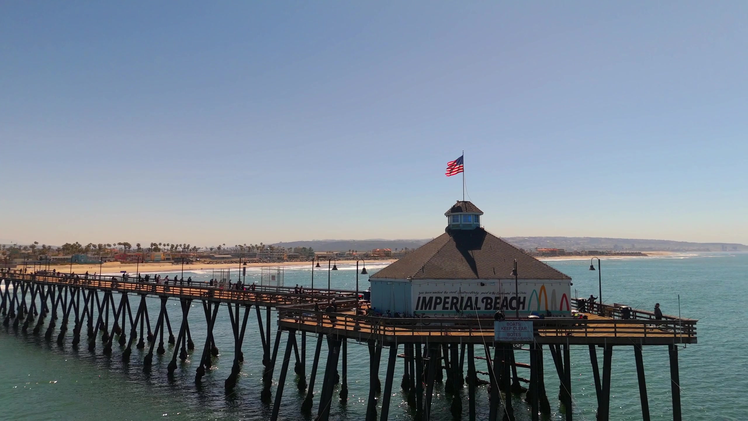
Wave height, period and direction, in plain English, plus why you should check water quality before paddling out in Imperial Beach.
Our Today in South Bay strip shows readings from NOAA's National Data Buoy Center, station 46232 (Point Loma South). It reports significant wave height offshore, the dominant wave period in seconds, and the direction the swell comes from.
A longer period (13 seconds or more) usually means a groundswell that carries more energy to the beach than the same height at a short period. Offshore buoy height is not the same as wave height at the beach; local bathymetry, tide and wind all change it.
In Imperial Beach, water quality matters as much as the waves. San Diego County posts beach closures and advisories at sdbeachinfo.com. Check it before you go in.
 Powered by ServTrust